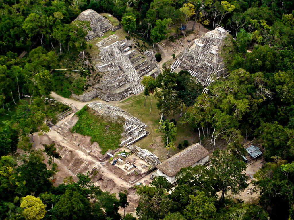
Massive Beautiful Plaza at Yaxha, Maya City
Yaxha is estimated to control 92 square miles and had a population of approximately 45,000 souls. The name of the city means “Blue-Green Water” and sits on the lake with its name sake, lake Yaxha. Its development started in the middle pre classic period (about 350BC) and was in its prominence in the middle of the class period (600AD) and eventually the city fell in the post classic period by 1525AD.
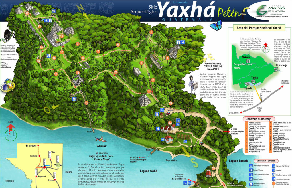
Map Of Yaxha
Like many other ancient city in the region, Yaxha shows signs of great influence from the great ancient city of Teotihuacan. Hardly any city-state in the Maya area escaped the styles of Teotihuacan’s architecture and in many instances, politically, some factions of Teotihuacan’s elite family were directly politically installed into power.
Yaxha is the third largest ruin in Guatemala, with only Tikal and El Mirador being larger. The city consisted of a number of plazas and building groups, and causeways linked to architectural groups that led to the lake’s edges. The main architectural groups are the Maler Group to the north, linked to the central area by the Blom Causeway; the South (or Main) Acropolis, the West Group, the Northeast Acropolis, the East Acropolis and a number of plazas and lesser groups make up the site core. The city was linked to the shore of Lake Yaxha by the Lake Causeway.
Its a tremendously gorgeous opportunity to visit this site.
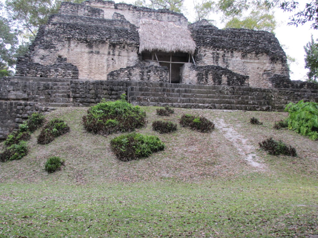
Solitary Sitting In Silence Holding On To The City’s Secrets
We suggest you visit with us. The trick at this city is to do the tour in the evening and sit on the top of a pyramid paying homage to the setting sun. The sunsets are stunning.
Lets go!
Contact us at info@ninebelize.com and tourswithnine@gmail.com


